Book Tickets Online
About
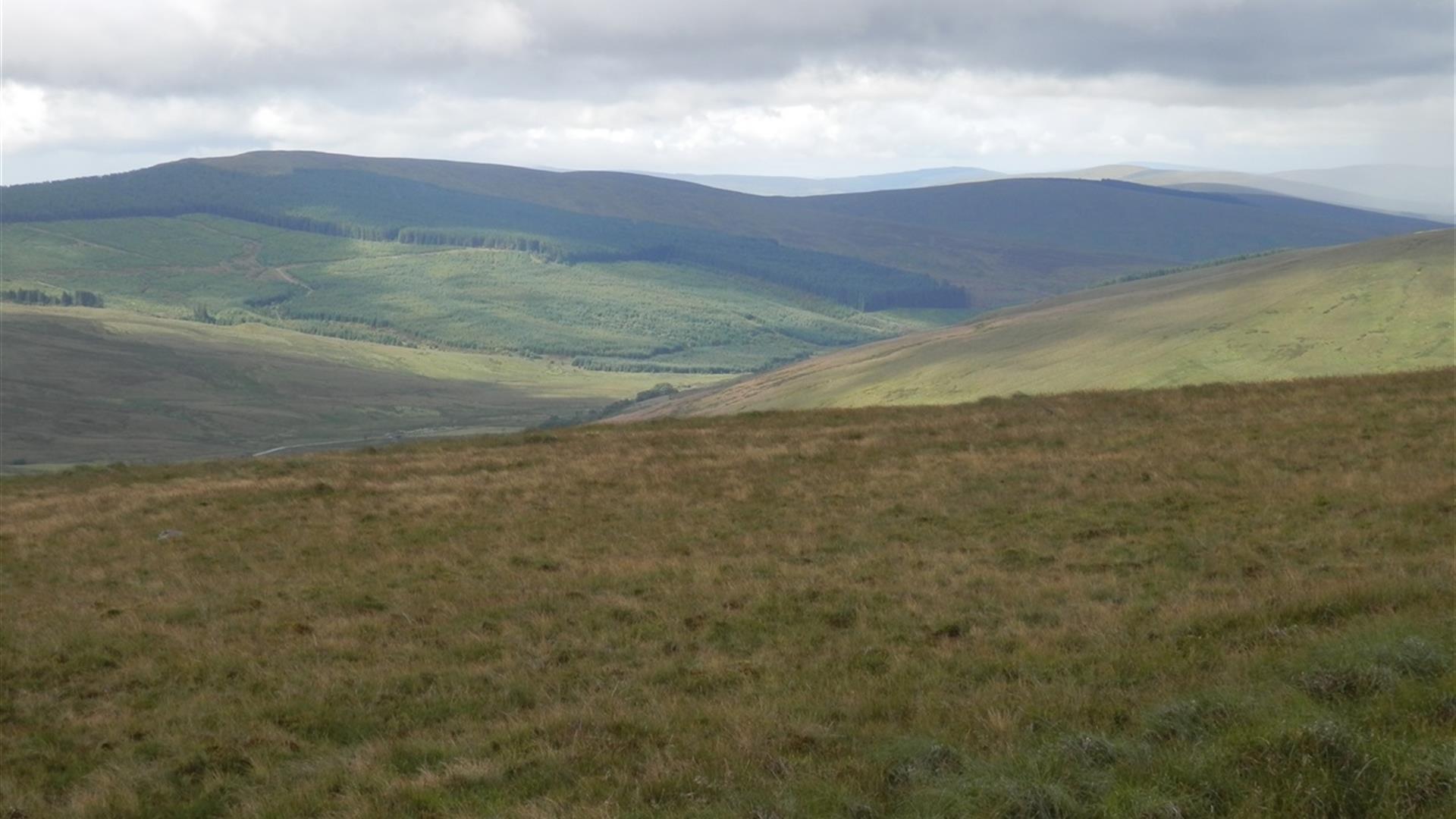
An enjoyable circular walk that takes in the summits of Crockmore and Crockbrack in the eastern Sperrins. This trail is a permissive path developed through the work of the Sperrins Gateway Landscape Partnership. It is fully waymarked, though some parts of the trail are across the open hillside where no formal path is present.
Start Point:
H756965
Finish Point:
H756965
Route:
From Mulligans Pub car park cross the road and turn left up the Drumderg Road following the marker posts for the Crockbrack Way. The route continues uphill along the road eventually crossing a cattle grid and becoming a mountain track underfoot. As you rise the view behind extends first over Moydamlaght Forest on the slopes of Mullaghmore. A large glacial erratic sits in a rushy field to the right of the track, on closer examination this rock is around 10ft high and composed of folded, contorted and very ancient schist rock. Views of the distinctive summits of Benbradagh, Binevenagh and the Inishowen peninsula come into view as you go higher. Follow the track as it leads you to Crockmore (Cnoc Mor – big hill) 478m. There are extensive deposits of blanket bog here while ahead the hidden mountain lough of Lough Ouske on the northern slopes of Slievevaddy (Sliabh an mhadaidh – mountains of the dog) is revealed. At this point you leave the track and start walking towards the higher summit of Crockbrack (Cnoc Breac – speckled hill) over open countryside with no formal paths. The trail climbs up over blanket bog and moorland grasses, cross a stile and walk towards the summit, keeping a fence to your left. At the summit there is a lot of eroding blanket bog just as there was on Crockmore. There are excellent views towards Lough Fea, Six Towns and Davagh. Lough Fea sits in an area of quite flat but boggy ground. Follow the fence on your left downhill for some 500m until you intersect with another fence running off to the right. Turn right and follow this fence for 1km keeping it on your left as you descend from Crockbrack just above the headwaters of the Drumderg River before climbing towards Craigbane. On reaching the bottom of the slope, continue straight on, walking upslope again and keeping the fence to your left. Go over the stile and turn right towards the summit of Craigbane (there is a man-made track here). The views from this point are superb and extend from south-east to northeast over Slieve Gallion, Draperstown, the Moyola Valley and Maghera with Lough Neagh, Lough Beg and the Bann Valley further to the east. Continue to follow the track and on reaching another Y-junction follow the right hand path and continue downhill. You soon reach a gate which you go over and continue downhill. After you reach the first farmhouse, the track turns into a tarred road. Follow this road downhill. After crossing the bridge over the Dunlogan River you come to a junction with the B40 Feeny- Moneyneany road. Turn right here and follow the road back to the pub car park in Moneyneany.
Distance:
7.2 miles
Terrain:
country roads, mountain tracks
Point of interest:
Crockmore, Crockbrack, glacial erratic,
Facilities:
Small car park adjacent to Mulligans Bar
Publication:
Gateway to the Sperrins - A Guide for Walkers
Publication availability:
Available for download from this page
Nearest town:
Moneyneany
OS map:
13
Facilities
Provider Preferences
- Free (parking charges may apply)


