The official website of Mid Ulster
En

Lower Bann Canoe Trail

Bannside, Toomebridge, Antrim, BT41 3SB
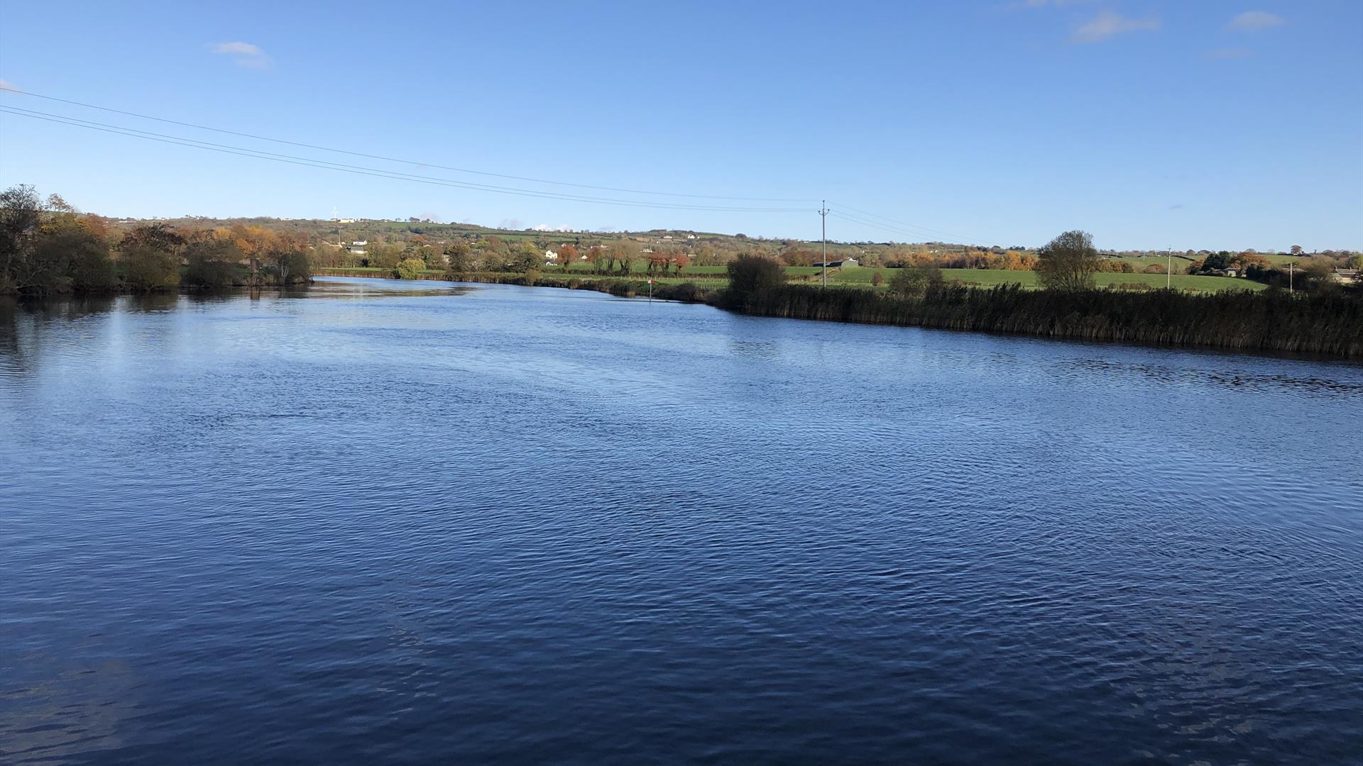
Image of the Lower Bann

Book Tickets Online

About

Passing through constantly changing scenery, the trail offers canoeists both tranquil waters and some faster flowing sections and is suitable for canoeing enthusiasts of all abilities.

The river is steeped in history dating back to Mesolithic times. From the trail’s head at Toome, the river flows into Lough Beg – a beautiful area that is rich in wildlife. From Lough Beg it narrows at Newferry and acts for most of its length as the boundary between counties Londonderry and Antrim. On entering its last stretch towards the Atlantic Ocean it passes through the town of Coleraine. The trail finishes at Ballywoolen – beside a beautiful nature reserve owned by the National Trust and approximately 1.5 km from the Barmouth.

Add Lower Bann Canoe Trail to your Itinerary

Close window

Call direct on:

Tel+44 (028) 9030 3930

Map & Directions

What's Nearby

  1. Providing tourists with in-depth and informative insight into the fishing industry on the…

    0.24 miles away
  2. Church Island is a small island on Lough Beg - 1.5 miles from Bellaghy. On a visit to the…

    2.28 miles away
  3. This Blacksmith’s Cottage, still in its original state, dates back to the late 18th or…

    3.56 miles away
  1. Ballyscullion Park is a private house, home of Richard and Rosalind Mulholland and their…

    3.63 miles away
  2. Built around 1619 by Sir Baptist Jones, Bellaghy Bawn is a fortified house and bawn (the…

    3.89 miles away
  3. Seamus Heaney HomePlace takes you on an inspiring journey through the life and work of…

    4.06 miles away
  4. Knockloughrim Windmill is positioned on the outskirts of the village of Knockloughrim…

    6.85 miles away
  5. A Fishermans Thatched Cottage, approximately 250 to 300 years old. The nearby Gort Moss…

    8.01 miles away
  6. Step back to 1912 as you experience the Lenox-Conyngham home on the morning they left to…

    9.25 miles away
  7. Iniscarn Forest is located at the edge of the Sperrins Area of Outstanding Natural Beauty…

    9.74 miles away
  8. A 10th Century Cross situated on a rocky height on the shores of Lough Neagh. It is a…

    9.84 miles away
  9. Maghera Walled Garden, a restored Victorian Garden on the grounds of a medieval 4th…

    10.06 miles away
  10. The town of Maghera is a site of religious significance from ancient times.

    10.12 miles away
  11. One mile north of Maghera stands a prehistoric tomb at least 4,000 - 6,000 years old.…

    11.32 miles away
  12. Nestled in a secluded area located 2.5 miles to the North West of Maghera, Tirkane is a…

    12.2 miles away
  13. Nestled on the edge of the Sperrins, the Reserve boasts a rich variety of habitats…

    12.3 miles away
Previous Next

Map & Directions

View Maps and Visitor Guides
View what Mid Ulster has to offer and some of the best things to see and do during a visit.
E-newsletter sign up
Sign up for the Mid Ulster newsletter for inspiration and travel tips.
Back to Top

Tourism Northern Ireland

Don't Miss